

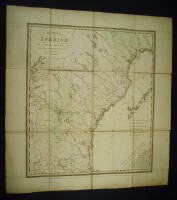
Res-Karta öfver Sverige, norra delen, efter oficiella uppgifter från Läne Styrelserne, utgifven af C. Akrell.
Grafik, karta.
1853 Folded 19 x 13,5 cm. Unfolded 56,5 x 53,5 cm. Mounted on linen. When folded, marbled paper at the front and back. Slight browning and a little offsetting to the map. Colours faded. Some dirt to the verso. Still a nice copy. Road map of the northern part of Sweden with a distance table. Some hand colouring. The northern part of Akrells travel map is not common.